There’s a topic on every surfer’s lips right now; will El Niño happen this year? Looking at the climate drivers, and how that’s set to materialize over the next few months, there is an increasingly strong possibility that El Niño will emerge, the first time since March 2024.
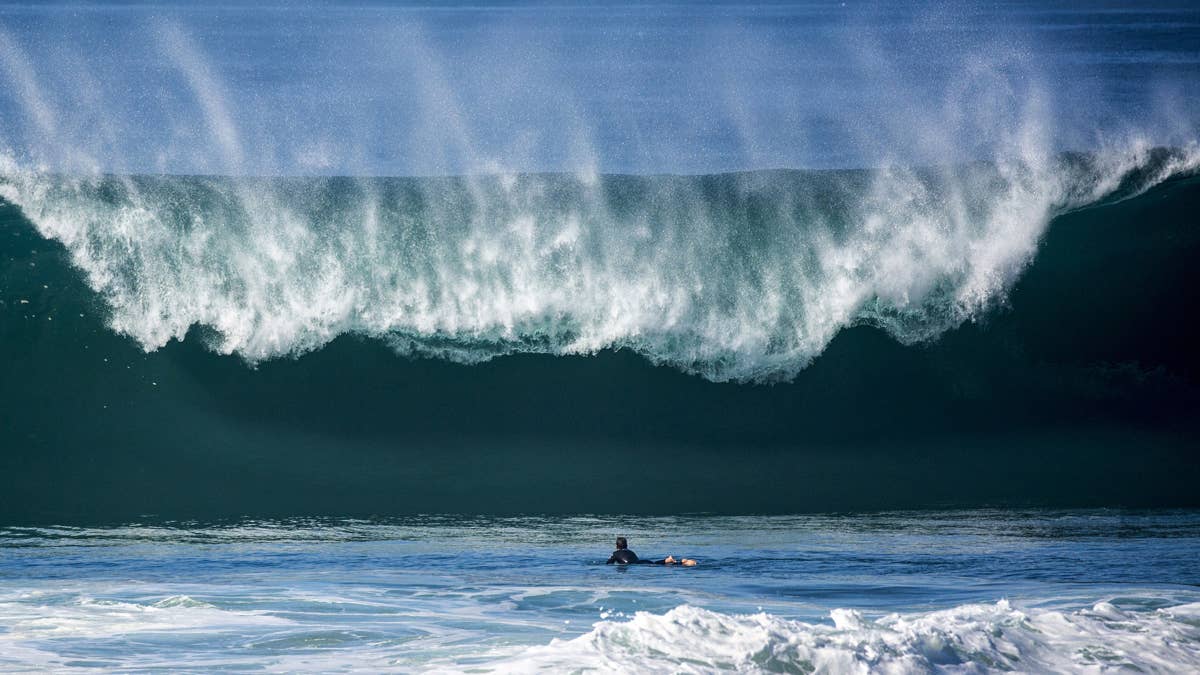
Depending on where you live, El Niño can be a huge surf blessing in the making. Some dazzling sessions have gone down during an El Niño, with notable waves of consequence becoming super-charges to crazy proportions.
But what exactly is an El Niño? What does it mean for surfing? And how does one form? Let’s dig in.
What Is An El Niño?
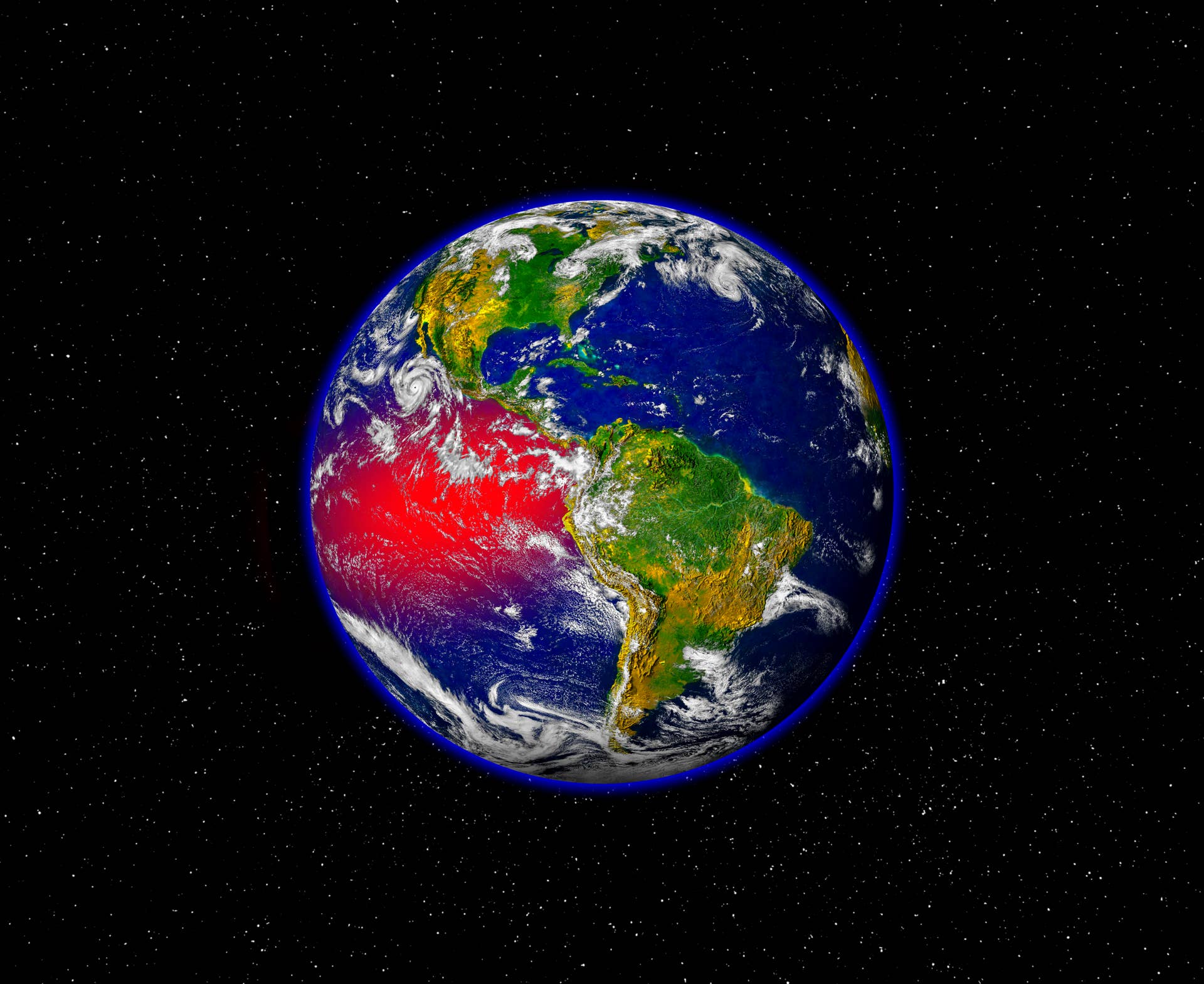
The short explanation is; El Niño is the large-scale warming of the sea surface temperatures across the central and eastern fringes of the Pacific Ocean.
This is caused by the trade winds weakening in the South Pacific, which allows water to warm up – essentially creating a warm pool of water. This then drifts across the Ocean and up towards Japan, disrupting weather patterns across the planet. This warm water significantly alters the jetstream, and impacts circulation patterns. Essentially, it can pull the jetstream south, which will then alter storm tracks in the Pacific.
With the jetstream shifted, it can create a storm highway, making a beeline for the US and Hawaii. During El Niño years, these storms become more intense. This changes everything, from hurricane strengths to droughts, to rain fall to the quality of surf at your local.
For surfers, we could experience more powerful storms. The more powerful the storm, the more intense the swell, meaning bigger waves, for the most part.
Related: Rules of Surf Etiquette in the Crowded 21st Century Lineup
What Is A Super El Niño?
Now that we know what an El Niño is, you may have heard recent chatter about a Super El Niño, especially in wider, mainstream media. Let’s be very clear here; the term ‘Super El Niño’ is not a real climate phrase. It’s one made up by media outlets to draw attention. Meterologists are less hyperbolic than that, often citing an El Niño as being ‘strong’ as opposed to ‘super’, a little less sexy but the same principles apply.
A strong El Niño is used to describe an event where the sea surface temperatures in the central Pacific raise to 2C or higher above the long-term average. This causes widespread global weather impacts compared to a standard El Niño event.
The last El Niño of this magnitude was in 2015-2016, which caused widespread drought, floods and record global temperatures. It was one of the strongest in history, supercharging the North and South Pacific with colossal swells – setting off Jaws, Maverick’s and setting up a crazy swell event at Waimea for The Eddie.
What is a Godzilla El Niño?
Another informal meteorological term made popular by eye-ball catching headlines. This is essentially the same as a ‘Super’ El Niño, but with a more pop-cult flavor about it. A Godzilla El Niño was actually coined during the last strong El Niño in 2016, used as a moniker to show the intensity of the climate phenomenon and that this was no ordinary pattern.
Where Will El Niño Hit Hardest?
Because El Niño is a Pacific climate event, it will land hardest in the North Pacific, so California and Hawaii could see significant swells this winter (when El Niño kicks in) and the likes of Peru and into South America. For the likes of Australia and Indonesia, the opposite effect takes place; where the countries will see a reduction in swell and onshore wind as high pressure tends to dominate.
For the likes of Europe, El Niño actually works to prevent tropical storm development in the Atlantic. Which means somewhat smaller surf across the swell season. However, there are a number of factors that need to come into play here before this takes full effect. European surfers we could see high pressure come into play through the beginning of 2027. And these high pressure systems sit along Norway and Greenland – which would essentially block swells coming into Europe.
How Likely Is An El Niño This Year?
Every so often, NOAA updates its El Niño predictions based on how the climate is looking out there. On May 14th, the organization said there is now an 82% chance of El Niño emerging in May through to July and to continue through the Northern Hemisphere winter.
“In the past month, ENSO-neutral (ENSO is the swing between El Niño and La Niña, more on this soon) conditions continued, as indicated by near-average sea surface temperatures (SSTs) in the east-central equatorial Pacific Ocean.The latest weekly Niño-3.4 index value was +0.4°C, with the westernmost and easternmost indices at +0.5°C and +1.0°C, respectively.”
With those sorts of figures, it’s probably time to start planning your El Niño winter. NOAA’s next update will release on June 11th, so we’ll bring you the latest information then.