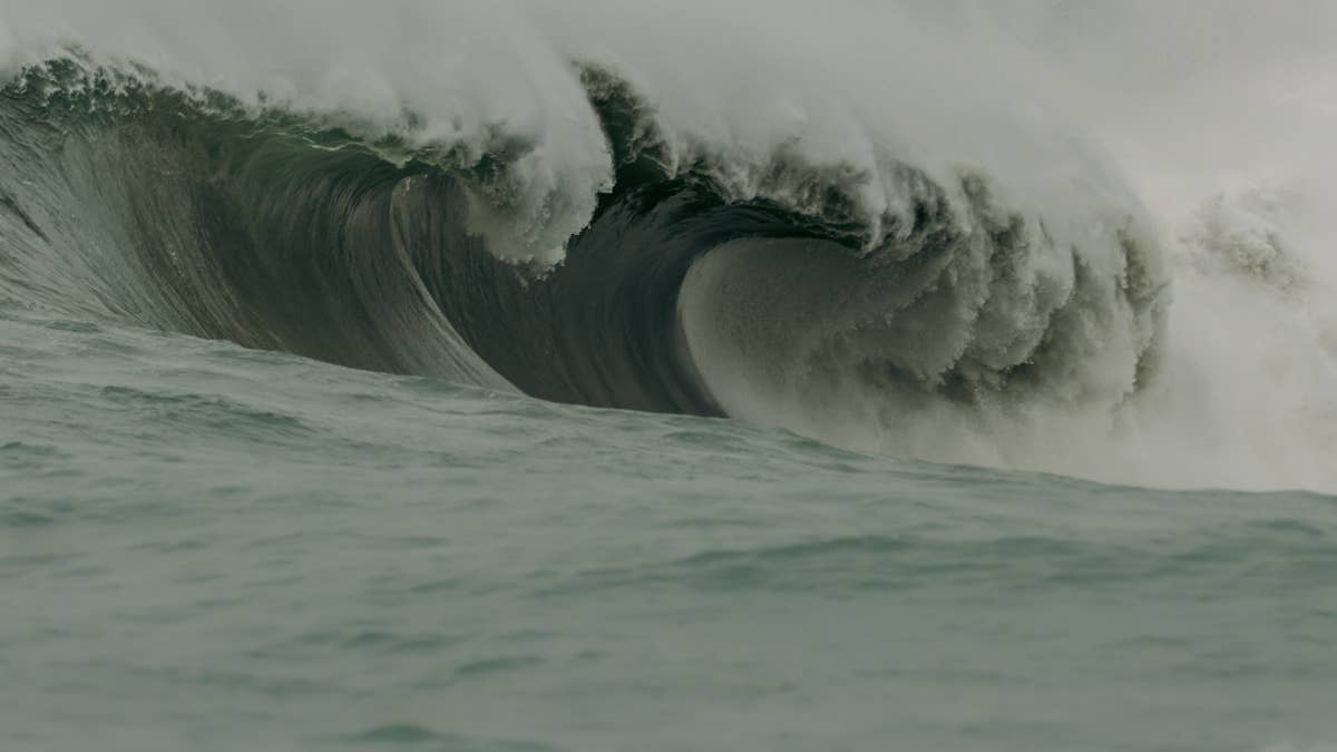
El Niño is in full swing, a potentially historic weather event has been brewing right under our noses in the Pacific. Now, with winter now only a few weeks away, we’re taking a look back at previous forecast data to see how potentially mega El Niño will play out over the next few months.
According to NOAA’s November assessment, El Niño is rapidly strengthening to potentially one of the strongest in modern records. So the question now becomes – if that’s going to be the case, what does it mean for the surf?
Wait, What’s An El Niño?
First, up a reminder of what El Niño actually is. This is the warm phase of the El Niño Southern Oscillation (ENSO), a natural climate pattern involving changes in sea-surface temperatures and atmospheric circulation across the tropical Pacific.
As temperatures rise across the central and eastern equatorial Pacific, weather patterns change up. This influences the position of jet streams, the development of low-pressure systems and the strength of storm tracks.
This means more storms – and storms mean waves.storms generate waves. But it doesn’t mean a blanket ‘El Niño means big waves’. Its impact is different across the globe. Let’s take a look at how the winter will shape up.
Related: El Niño Crystal Ball: What’s Coming Next From This Godzilla El Niño Swell Season?
The Pacific: El Niño’s Winter Playground
Let’s get this straight – the Pacific is where El Niño is birthed and as such, where the biggest impact will be felt. In fact, California gives some brilliant examples of El Niño’s wintry influence.
For example, the winters of 1982/83, 1997/98 and 2015/16 were incredibly significant, coinciding with exceptionally strong El Niño events.
During 1982/83, powerful North Pacific storms generated XL surf along the California coastline, but also bought significant coastal damage with it.
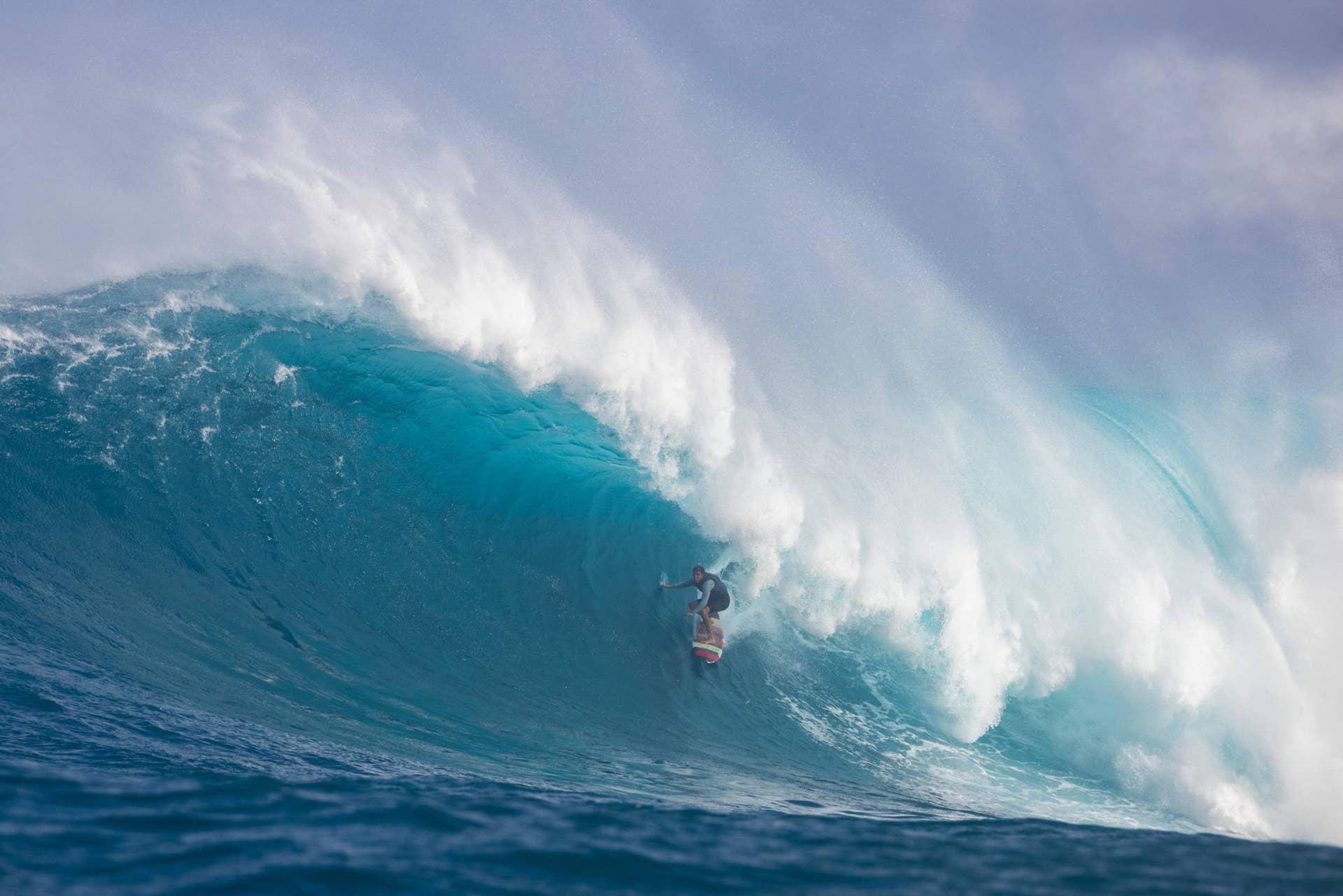
Hawaii also experienced changes in North Pacific swell activity during El Niño events, although the outcome depends on the location and type of warming in the Pacific. This El Niño could be comparable to the great storms of 1982–1983 and 1997–1998, which produced landmark heavy-water sessions. Time to dust off your big wave gun. Or not. Whatever you fancy. So expect big waves and the likes of Maverick’s and Jaws to see potentially banner seasons — or so the data would suggest.
For surfers, the takeaway is really easy. Strong El Niño winters can coincide with powerful North Pacific swell seasons. However, bigger waves don’t necessarily mean better surf, as we know. Storm direction and winds obviously matter. So this winter – with El Niño in full swing, we will see more storms and more swells.
Japan and the Western Pacific
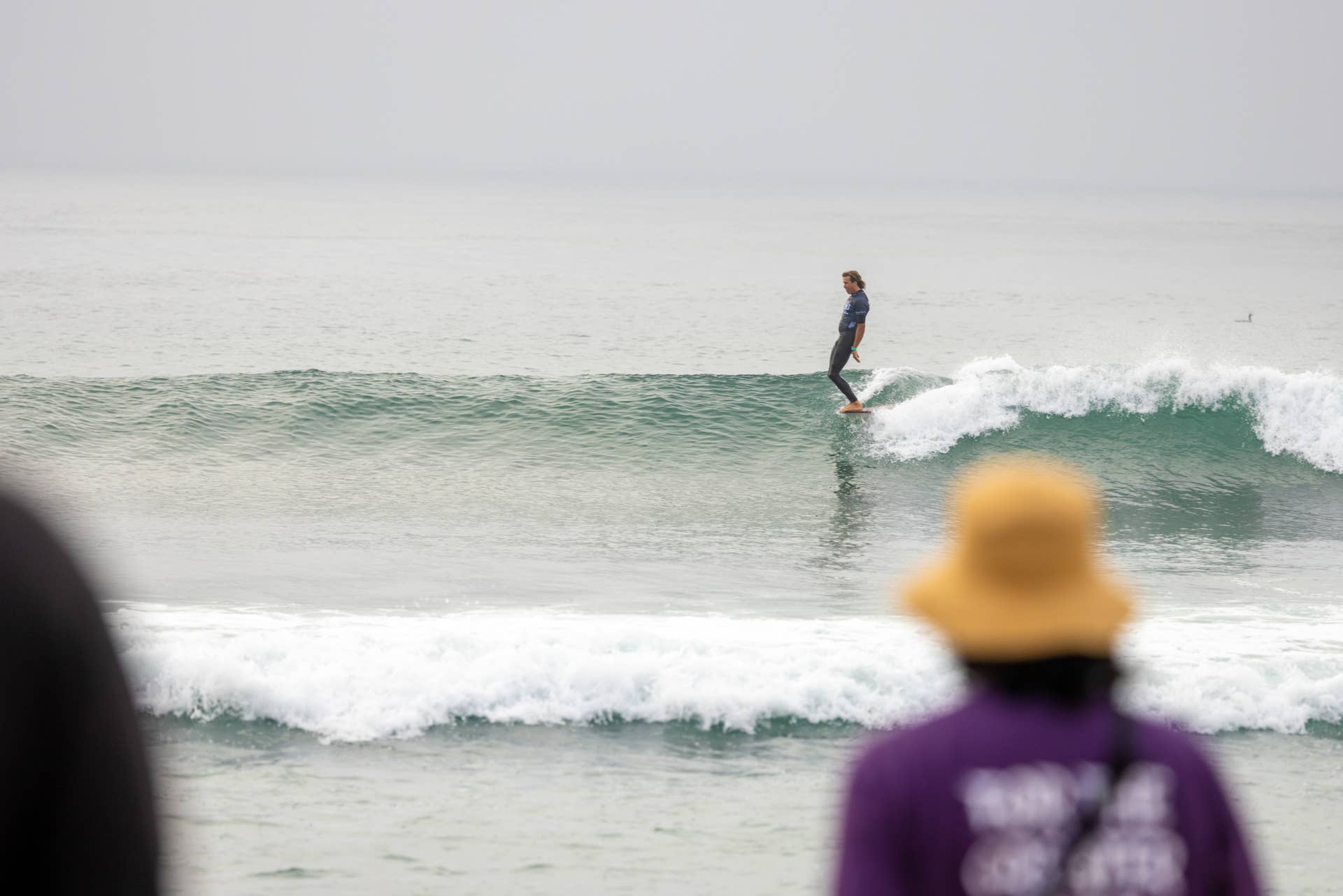
Taking a look at Japan and the Western Pacific and the historial research suggests… well, a bit of a mixture.
A 2021 study called “On the Influence of ENSO Complexity on Pan-Pacific Coastal Wave Extremes” identified an east-west seesaw in extreme wave activity, with El Niño patterns increasing energy in the eastern Pacific while reducing activity in parts of the west.
For Japan, this means El Niño’s influence on winter swell can (and probably will) be different than California’s. Those classic Japanese winter surfs can rely on strong, cold northwesterly monsoonal winds blowing off Siberia across the Sea of Japan, which can generate clean windswells or organized pulses.
El Niño weakens the Siberian High and the winter monsoon, meaning fewer rigid, continuous freezing continental blasts. However! El Niño tends to increase storms along Japan’s southern and Pacific coasts. For surfers in regions like Chiba, Shonan, Shikoku,and Miyazaki, this can translate to more frequent swells but with a bit of a mixed-bag of conditions. Basically, two things are working at odds with each other – but generally, there should be increased storm activity.
What About El Niño’s Impact on The Atlantic?
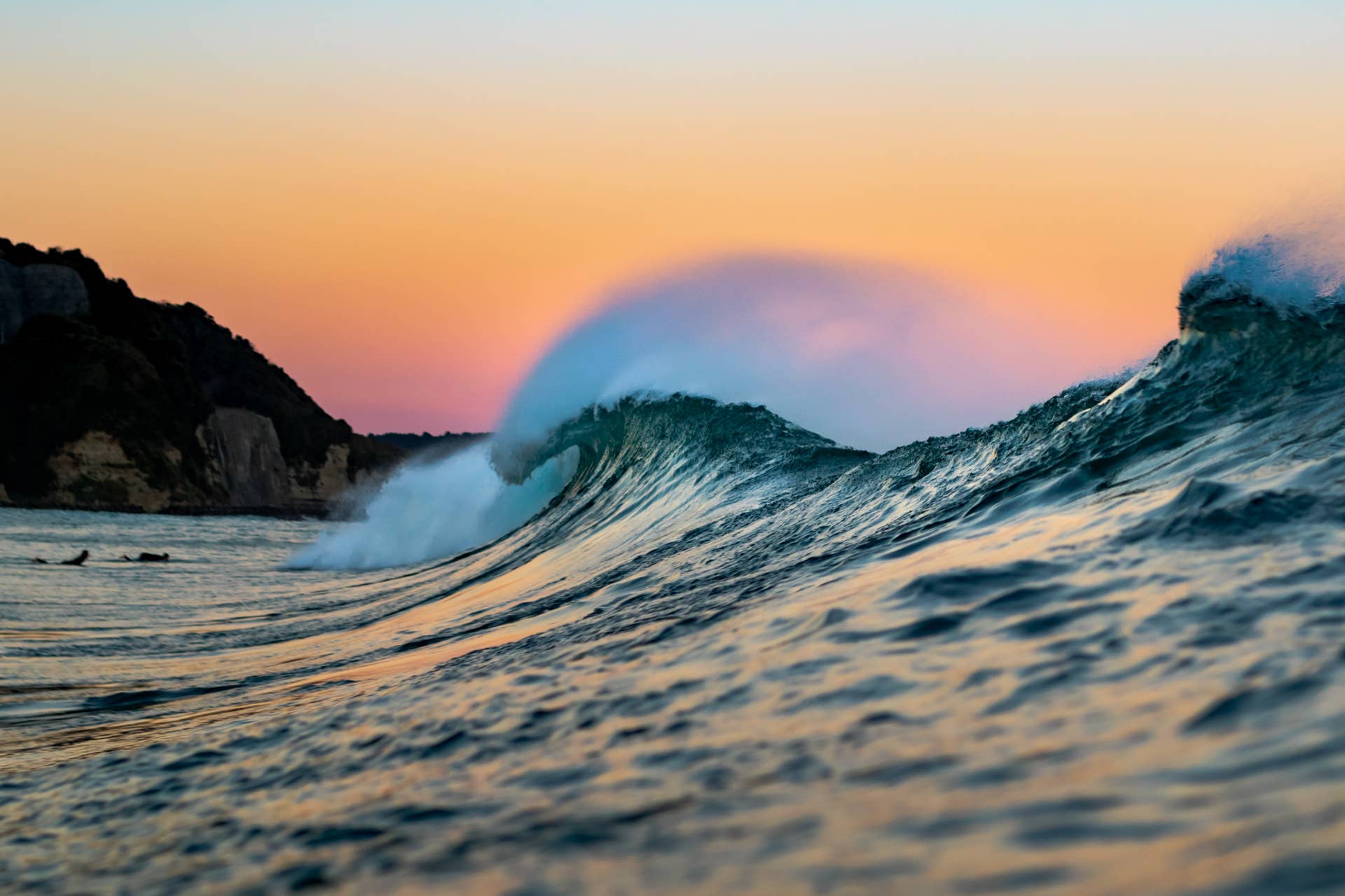
Unlike the Pacific, the Atlantic doesn’t experience El Niño directly. Its influence is primarily atmospheric, through changes to global circulation and the position of the jet stream. Meaning, kind of but not really – but also maybe!
For European surfers, this is interesting because the North Atlantic storm track generates much of the swell reaching the UK, Ireland, France, Portugal and beyond.
Historical research using ECMWF’s ERA5 (that’s the Euro forecast model, FYI) climate analysis has shown different atmospheric responses during early and late winter El Niño conditions.
The winters of 2015/16 and 2023/24 are fun comparisons. Both featured strong El Niño conditions and stormy early-winter weather across the UK.
Met Office research published in 2026 showed some similarities between the two periods, including below-average pressure to the west of the UK.
For surfers, this can mean opportunities for active Atlantic storm development and substantial swell-generating systems.
However, the Atlantic is less about El Niño and more about the North Atlantic Oscillation (NAO) which plays a major part in storm generation. Its changing pressure patterns can influence where storms travel, meaning El Niño doesn’t guarantee a particularly stormy European winter. So the opposite of the Pacific.
An active North Atlantic could bring plenty of opportunities for powerful winter groundswells across Europe’s western flank.
Cornwall, Devon, Wales and Ireland are particularly exposed to Atlantic swell, while Portugal and western France can benefit from substantial winter swells. Obviously powerful storms can generate giant, XL swells which could also bring onshore winds – so big and stormy. But the ideal scenario is a sequence of swell-producing systems followed by periods of lighter winds to blow through after the storm’s charged across the ocean.
What Should We Watch Out For This Winter?
Here’s a handy cheat sheet of everything to watch out for as El Niño develops over the coming months.
Pacific storm development — the position and strength of the North Pacific storm track will be important for California and Hawaii.
The North Atlantic Oscillation – for European surfers, this remains an important indicator of changing Atlantic pressure patterns. Keep an eye on this, not on the developing Pacific El Niño.
The jet stream – its position will influence where North Atlantic storms develop and whether they track towards western Europe.
Seasonal forecasts – let us keep an eye on NOAA, ECMWF and the Met Office, you just keep it right here on SURFER for updates as we know more.
Related: Where Do The Biggest Waves In The World Actually Come From?