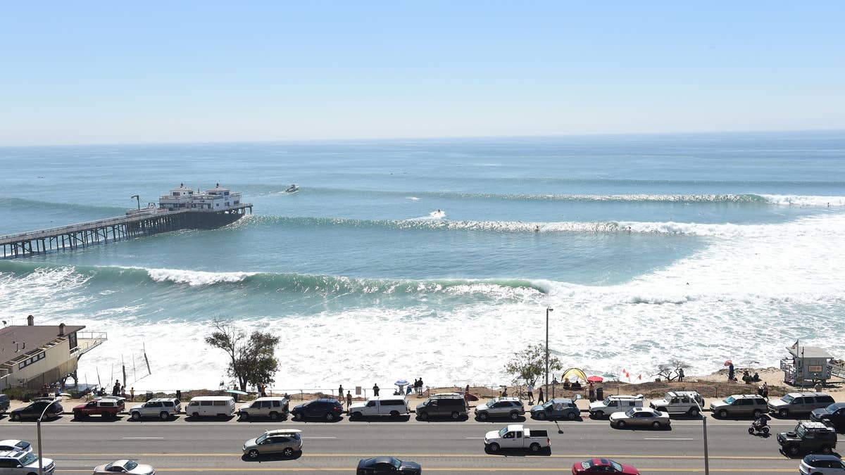
There is already a healthy SSW Southern Hemi swell running, providing head high+ surf for well exposed breaks throughout Southern California. However, that is about to be joined and then eventually overtaken by stronger swell moving up from Hurricane Genevieve. Note – this event won’t be to the caliber as the famous Hurricane Marie swell back in Aug 2014, but still a very solid one nonetheless.
WEDNESDAY 29th
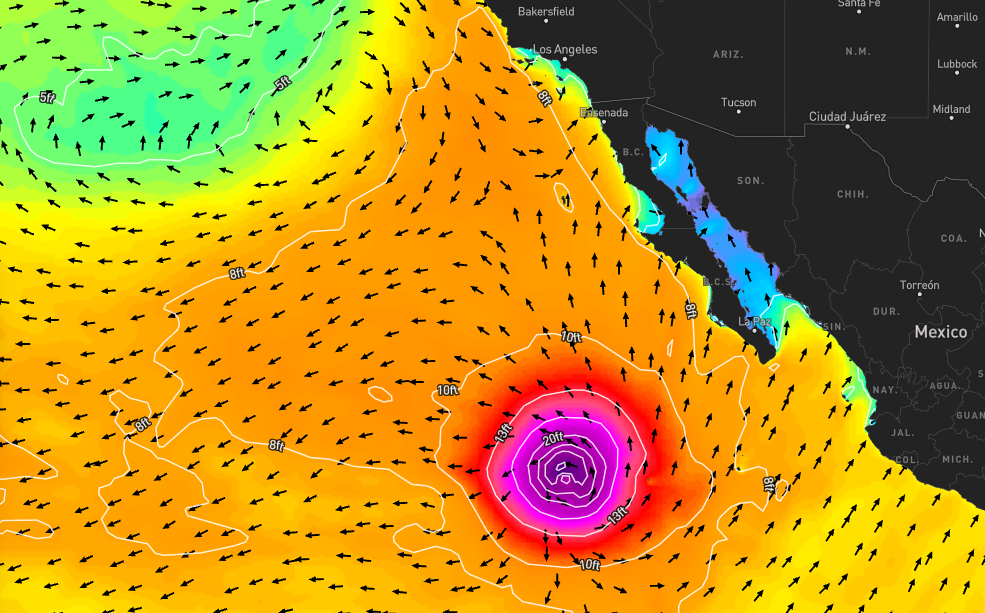
Building through the day, the leading swell from Genevieve will sweep into the SoCal Bight from a steep SSE angle (160-170°) and of longer period bands (relatively speaking for tropical cyclone swells). This particular energy will be spot selective over Wednesday going into Thursday the 30th. But again, there is also a sizable and more westerly angled, long period SSW swell topped out for the region. Therefore, there will be no shortage of waves for most areas across SoCal. Its just a matter what spot you’re trying to target and it’s exposure.
North Orange County will be the strongest zone overall for both swells, seeing the most size and consistency. Northern LA County through Ventura will also be a hot zone, while some energy will even filter into eastern Santa Barbara. The main driver for waves in San Diego and South OC will continue to be the SSW Southern Hemi, while much of the Genevieve swell passes by the coast. LA’s South Bay will be the smallest zone, but still getting a little surf thanks to the SSW swell.
Overall surf size on Wednesday will be similar to what we had on Tuesday 28th for most zones, but watch for SSE standouts (especially in North OC) to start spiking up over the back-half of the day as the hurricane swells builds in further (easily overhead). Consistency increases too. Shape for most beachbreaks will be semi broken-up, thanks to the two different swells running, but many walled out waves as well. Expect a strong drift to develop. A light+ to moderate southerly eddy wind is expected in the AM, with a stronger and more westerly onshore breeze for the PM.
THURSDAY 30th AND FRIDAY 31st
The Southern Hemi swell hangs in there, but takes a backseat as the Genevieve swell ramps up further and tops out – peaking Thursday and holding strong into Friday. Also, the angle of the hurricane swell slowly shifts from SSE to straight South. Many spots throughout SoCal with good exposure to this steep direction will offer head-overhead surf over Thu/Fri, while standouts are well overhead. Certain magnets, especially those in North OC, will produce double overhead sets, occasionally even bigger.
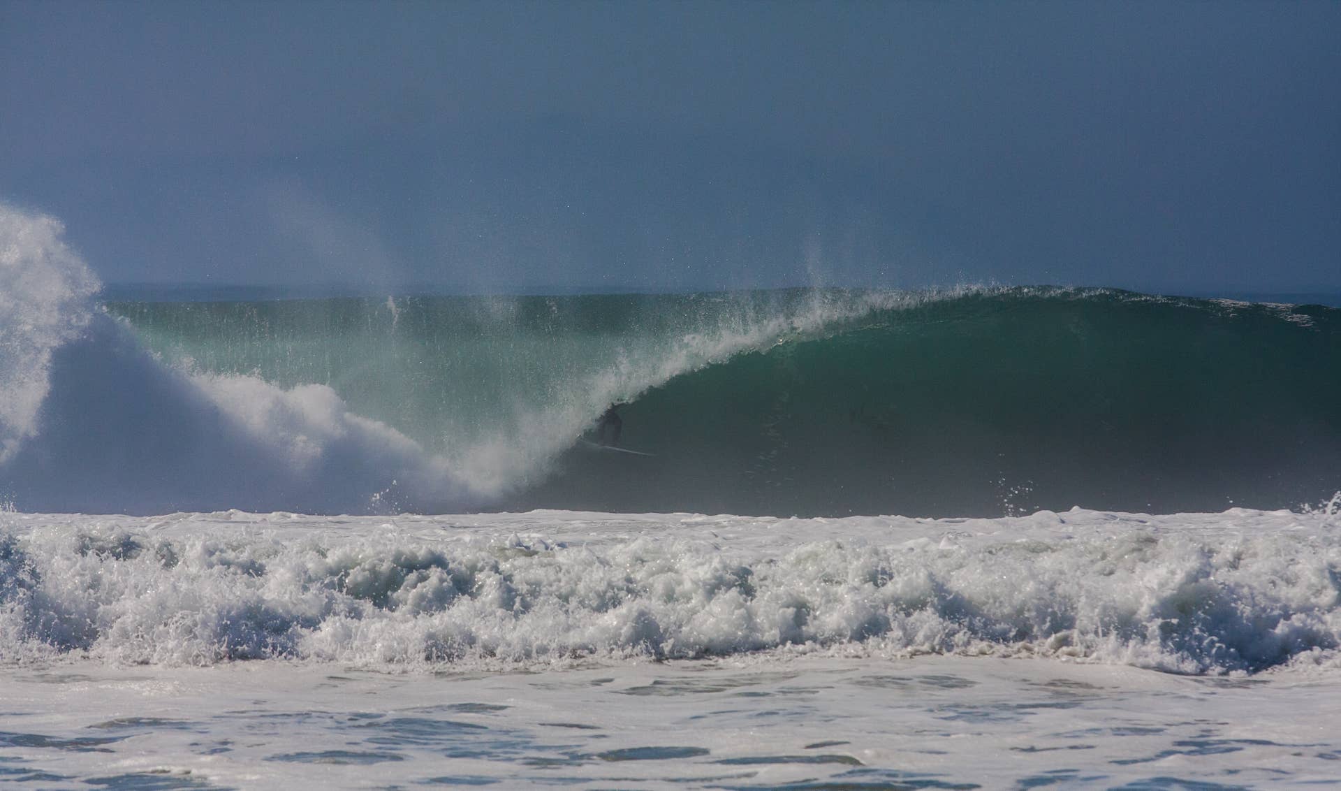
Most beachbreaks are to remain semi-walled to semi-broken-up, and drifty. Look to summer reefs/points or spots with structure to offer best shape. Morning conditions are to improve with calm to very light/variable wind, before a moderate onshore seabreeze kicks up late morning into the afternoons.
The surf/swell will then slowly taper off through the weekend and into next week – still plenty of juice on tap. Get some, but know your limits!